The initial prototype* [from Delaware Township, Hunterdon County, New Jersey] is demonstrated here so future contributors can understand what is required and the possible scope of this work. New work does NOT need to be as elaborate as this example.
It can be as little as a few historic entries to begin with, and can be supplemented to any extent at any time. We also welcome
ideas about format and additional content.
To install prototype: Download the current version of ‘Google Earth PRO’. [NOTE: This site will not work with standard Google Earth.] Disengage all commercial options and external photo collections! Those are NOT a part of this program. Click on the download below to install the prototype in ‘Temporary Places’.
To use prototype: Click the arrow for the drop-down menu so that all 40+ topics for Delaware Township are shown.
[It is best to check only one topic box at a time, until you get used to how the entire program works. Please note that each
individual entry box can be checked and/or highlighted to obtain text and location. Likewise with each icon on the map.]
To install *prototype* click here: DELAWARE TOWNSHIP OCT2020
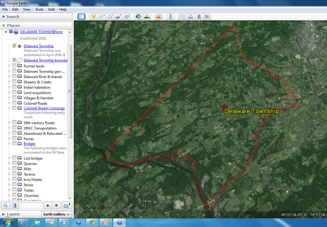
[ This is what your screen should look like. ]
FREQUENTLY ASKED QUESTIONS:
What about photos? Photos, where included, are dealt with as a separate link to our History Mapping ‘Flickr’ account. There are also extensive map collections via our ‘Flickr’ account.